 ShouldISurf
· Taiwan time · Beginner criteria
Display settingsm · m/s
Compare the estimated breaking-wave face with a roughly 170 cm adult.
Numeric wave heights are model significant wave height (Hs). The body scale estimates breaking-wave face height. Display settings do not change the assessment.
Tide m · Temperature °C · Distance km · Period s
Changes apply immediately and are remembered in this browser.
Taichung
Songbai Port conditions on this date
- Wave Hs
- 0.7–0.8 m
- Period
- 5 s
- Wind
- Not offshore
- Tide
- Rising · High 10:22
How to read the two heights: Hs is the model's significant wave height; metres and feet are two units for that same Hs height (1 ft = 0.3048 m). Breaking-wave face height is an engineering estimate that applies a period-aware nearshore shoaling factor to Hs, so it is usually larger. It is not a unit conversion or an on-site measurement.
Waist-to-chest to Shoulder-high, soft waves, Cross-shore wind, good for pop-ups.
This hour’s forecast
16:00 · Swell NNE
Why we say this
This spot needs N, NW swell, E, SE offshore wind, Mid to high tide. On this date, those conditions line up from 8:00 to 11:00. Meets current criteria (quality 85/100).
- Swell directionN, NW ✓
Needs N, NW · on this date N, NW ✓
The swell sits in a direction this spot works on (N, NW), so it clears the gate.
- Period5.3s soft
Needs period over 5s · on this date 5.3s soft
Period is on the short side, so the shape is average.
- WindCross-shore wind 2.6 m/s
Needs E, SE (offshore) · on this date Cross-shore wind 2.6 m/s
Onshore wind messes up the face and flattens it, but it's light.
- Wave heightHs 0.7–0.8 m
Estimated face: about Waist-to-chest to Shoulder-high
Needs Hs about 0.3–0.9 m (right for your level) · on this date Hs 0.7–0.8 m
Wave height sits in the ideal range for your level (Hs about 0.3–0.9 m).
- TideRising, high tide
Needs Mid to high · on this date Rising, high tide
Rising tide pushes water in and fills out the shape.
Direction
Wind blows onto the shore, so the face gets messy.
This spot works best on N, NW swell.
Onshore wind on this date, but the swell lines up.
Spot specs
- Type
- Beach break
- Seabed
- Sand and cobble
- Best tide
- Mid to High
- Level
- Beginner +
Location
Navigate in Google MapsThe compass on the map shows the selected date’s swell and wind directions (solid arrows) and this spot's ideal swell and wind windows (dashed arcs). See the Direction card above for the interpretation.
Next 7 days
Hourly forecast (Sun)
Shared time axis · shaded band is the best window to paddle out
All four charts share one time axis · significant wave height Hs (m) · period (s) · wind (m/s) · tide (m) · arrows show where it comes from · the band marks the best window · tide uses CWA (unaffected by model) · slide or touch to read each hour.
Tide
苗栗縣苑裡鎮 station · CWA
Best window to paddle out08:00–11:00
Hourly raw values
Hourly forecast (Sun) · Daylight 5:00–18:00 is the surfable window
| Time | 00 | 02 | 04 | 06 | 08 | 10 | 12 | 14 | 16 | 18 | 20 | 22 |
|---|---|---|---|---|---|---|---|---|---|---|---|---|
| Wave Hsm | 1.1 | 1.0 | 0.9 | 0.8 | 0.8 | 0.7 | 0.7 | 0.8 | 0.9 | 1.1 | 1.1 | 1.2 |
| Periods | 5.9 | 5.8 | 5.6 | 5.5 | 5.4 | 5.2 | 5.3 | 5.6 | 5.4 | 5.4 | 5.8 | 6.1 |
| Swell dir | 21° | 20° | 19° | 18° | 17° | 15° | 18° | 27° | 15° | 9° | 9° | 10° |
| Windm/s | 1.4 | 1.3 | 1.7 | 1.4 | 2.0 | 3.3 | 5.0 | 6.8 | 6.8 | 7.1 | 7.3 | 7.5 |
| Wind dir | 139° | 148° | 123° | 63° | 40° | 360° | 1° | 7° | 8° | 19° | 26° | 28° |
| Gustm/s | 2.6 | 1.8 | 3.1 | 2.5 | 4.4 | 7.8 | 10.8 | 13.9 | 13.7 | 13.2 | 13.3 | 13.5 |
| Weather | Clear | Clear | Clear | Clear | Clear | Clear | Clear | Clear | Cloudy | Cloudy | Clear | Clear |
| Tidem | 0.6 | -0.8 | -2.1 | -1.1 | 0.4 | 2.0 | 1.2 | -0.2 | -1.5 | -1.0 | 0.5 | 1.9 |
| Air°C | 24 | 24 | 24 | 23 | 26 | 28 | 28 | 27 | 26 | 25 | 24 | 23 |
| Sea°C | 26 | 26 | 26 | 26 | 26 | 26 | 27 | 27 | 27 | 27 | 27 | 26 |
| UV | 0 | 0 | 0 | 0 | 1 | 5 | 6 | 5 | 2 | 0 | 0 | 0 |
Significant wave height Hs (m) · period (s) · wind & gust (m/s) · arrows show where it comes from (green = suits, dim = unfavorable) · relative tide level (m) · air / sea temp (°C) · UV. Color is only a hint; numbers and arrows remain. Swipe to see all hours on mobile.
How we score it85/100
Quality = 0.32×period + 0.28×wind + 0.25×wave height + 0.15×tide
- Period72 × 32% = 23
- Wind77 × 28% = 21.6
- Wave height100 × 25% = 25
- Tide100 × 15% = 15
About Songbai Port
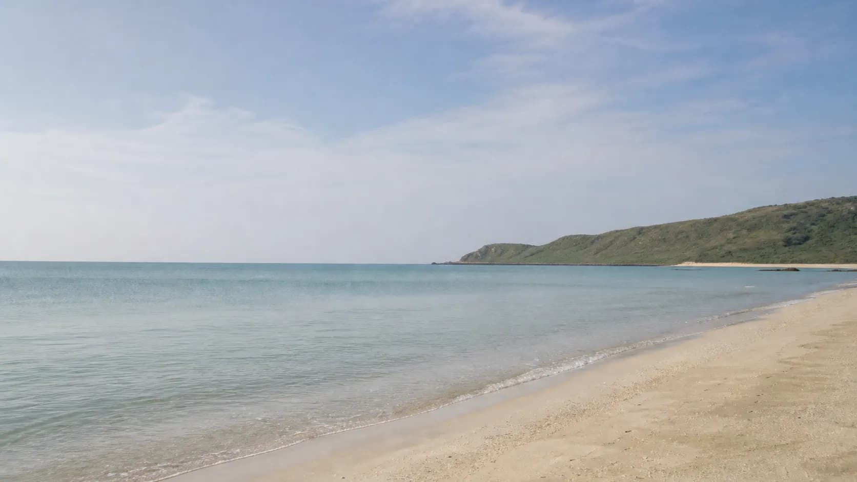
Songbai Port in Taichung faces northwest, a beach break over sand and cobblestone with peeling lefts and rights. It works best on north or northwest swell, east to southeast offshore winds, and a mid to high tide. Beginner friendly, but mind the stones underfoot.
Frequently asked questions
- Is Songbai Port good for beginners?
- Yes. Songbai Port is a beginner spot and one of the friendlier ones in Taichung, Taiwan, for surfers just starting out. Conditions change daily, though, so check this page's daily conditions score before you paddle out.
- When does Songbai Port work best?
- Songbai Port is usually cleanest on a N/NW swell and an E/SE wind. How good it actually gets still comes down to the day's wave height and period, so go by the hourly forecast on this page.
- How do I get to Songbai Port?
- Songbai Port sits on the coast in Taichung, Taiwan. Open Google Maps navigation straight from the spot map on this page to get there.