Yilan
Choushui conditions today
Wave height gauge: Waist-to-chest
How to read the two heights: Hs is the model's significant wave height; metres and feet are two units for that same Hs height (1 ft = 0.3048 m). Breaking-wave face height is an engineering estimate that applies a period-aware nearshore shoaling factor to Hs, so it is usually larger. It is not a unit conversion or an on-site measurement.
Waist-to-chest, soft waves, Cross-shore wind, good for practice.
This hour’s forecast
04:00 · Swell NE
Why we say this
This spot needs ENE, E, ESE swell, WSW, W offshore wind, Low to mid tide. Today those conditions line up from 14:00 to 17:00. Meets current criteria (quality 86/100).
- Swell directionENE, E, ESE ✓
Needs ENE, E, ESE · today ENE, E, ESE ✓
The swell sits in a direction this spot works on (ENE, E, ESE), so it clears the gate.
- Period5.7s soft
Needs period over 5s · today 5.7s soft
Period is on the short side, so the shape is average.
- WindCross-shore wind 2.0m/s
Needs WSW, W (offshore) · today Cross-shore wind 2.0m/s
Onshore wind messes up the face and flattens it, but it's light.
- Wave heightWaist-to-chest · Hs 2.1ft (0.6m)
Needs Hs 1–3ft (right for your level) · today Waist-to-chest · Hs 2.1ft (0.6m)
Wave height sits in the ideal range for your level (Hs 1–3ft).
- TideRising, mid tide
Needs Low to mid · today Rising, mid tide
Rising tide pushes water in and fills out the shape.
Use the image for the scene and the forecast for the trend
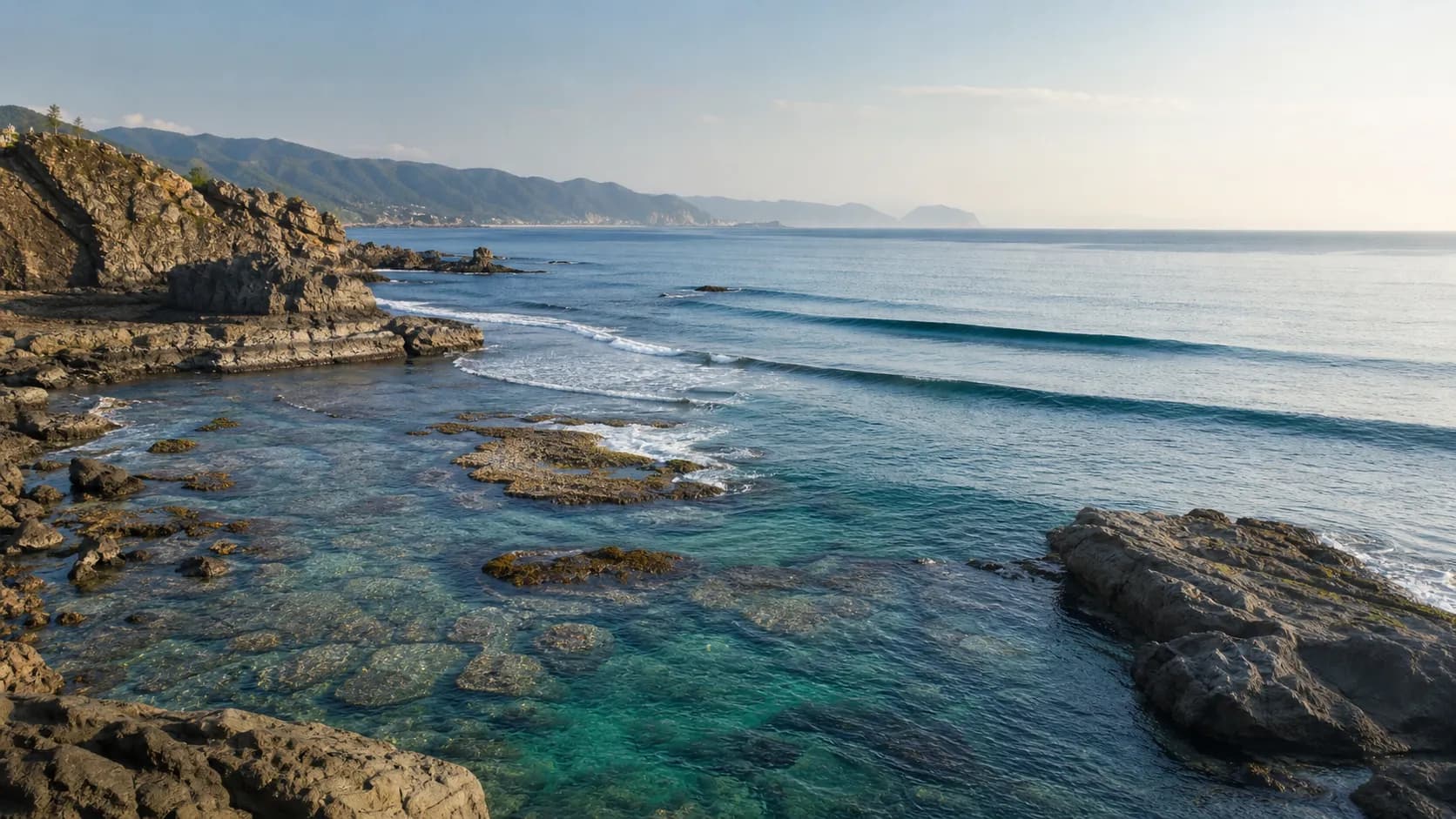
Camera: Wushi · 1.1 km (SW) from this spot; not a head-on view of this break.
📐 Cameras compress wave scale. Use the image for visibility and set timing; judge height again from shore.
Footage from: National Academy of Marine Research · Government Open Data License
Direction
Wind blows onto the shore, so the face gets messy.
This spot works best on ENE, E, ESE swell.
Onshore wind today, but the swell lines up.
Spot specs
- Type
- Point break
- Seabed
- Sand with some rock
- Best tide
- Low to Mid
- Level
- Intermediate +
Location
Navigate in Google MapsThe compass on the map shows today's swell and wind directions (solid arrows) and this spot's ideal swell and wind windows (dashed arcs). See the Direction card above for the interpretation.
Next 7 days
Hourly forecast (Thu)
Shared time axis · shaded band is the best window to paddle out
All four charts share one time axis · wave (ft) · period (s) · wind (m/s) · tide (m) · arrows show where it comes from · the band marks the best window to paddle out · tide uses CWA (unaffected by model) · slide or touch to read each hour.
Tide
海水浴場頭城 station · CWA
Hourly raw values
Hourly forecast (Thu) · Daylight 5:00–18:00 is the surfable window
| Time | 00 | 02 | 04 | 06 | 08 | 10 | 12 | 14 | 16 | 18 | 20 | 22 |
|---|---|---|---|---|---|---|---|---|---|---|---|---|
| Wave | 0.7m2ft | 0.7m2ft | 0.7m2ft | 0.7m2ft | 0.7m2ft | 0.7m2ft | 0.7m2ft | 0.6m2ft | 0.6m2ft | 0.6m2ft | 0.6m2ft | 0.6m2ft |
| Period | 6.8s | 6.8s | 6.7s | 6.7s | 6.7s | 6.2s | 5.8s | 5.7s | 5.6s | 5.6s | 5.6s | 5.2s |
| Swell dir | 55° | 55° | 54° | 54° | 53° | 52° | 50° | 47° | 47° | 47° | 46° | 47° |
| Wind | 0.8 | 0.5 | 0.1 | 0.3 | 1.0 | 2.1 | 2.2 | 2.3 | 1.7 | 1.4 | 0.8 | 0.5 |
| Wind dir | 86° | 53° | 360° | 189° | 114° | 113° | 98° | 89° | 90° | 94° | 107° | 131° |
| Gust | 3.0 | 2.0 | 1.3 | 1.3 | 3.5 | 6.1 | 6.4 | 7.0 | 6.0 | 4.0 | 3.3 | 2.5 |
| Weather | Cloudy | Cloudy | Cloudy | Cloudy | Clear | Cloudy | Cloudy | Cloudy | Cloudy | Cloudy | Cloudy | Cloudy |
| Tide | 0.1 | 0.3 | 0.5 | 0.3 | 0.0 | -0.3 | -0.4 | 0.0 | 0.3 | 0.5 | 0.2 | 0.0 |
| Air | 25° | 25° | 25° | 24° | 27° | 28° | 29° | 28° | 27° | 26° | 26° | 25° |
| Sea | 29° | 29° | 29° | 29° | 29° | 29° | 29° | 29° | 29° | 29° | 29° | 29° |
| UV | 0 | 0 | 0 | 0 | 2 | 6 | 8 | 6 | 2 | 0 | 0 | 0 |
Wave (m / ft) · period (s) · wind & gust (m/s) · arrows show where it comes from (green = suits, dim = unfavorable) · tide relative level (m) · air / sea temp (°C) · UV. Color is only a hint; the numbers and arrows are always there. Swipe to see all hours on mobile.
How we score it86/100
Quality = 0.32×period + 0.28×wind + 0.25×wave height + 0.15×tide
- Period72 × 32% = 23
- Wind83 × 28% = 23.2
- Wave height100 × 25% = 25
- Tide100 × 15% = 15
The model's daily summary, handy for cross-checking with Windy or other forecast apps.
- Significant height (Hs)
- 2.1 ft(0.6 m)
- Typical height
- 1 ft(0.3 m)
- Max set height
- 3.4 ft(1 m)
- Period
- 6 s
- Tide
- Rising
About Choushui
Choushui is an east-facing point break in Yilan. The bottom is sand with some rocks, and waves peel both left and right. It works best on east-northeast, east, or east-southeast swell with offshore winds from the west-southwest or west on a low to mid tide. Rated upper-intermediate, so it suits surfers with solid footing rather than first-timers.
Frequently asked questions
- Is Choushui good for beginners?
- Not really. Choushui is an intermediate spot, so it's better once you have some experience. Newer surfers should start somewhere easier first, then check this page's daily conditions score before deciding.
- When does Choushui work best?
- Choushui is usually cleanest on an ENE/E/ESE swell and a WSW/W wind. How good it actually gets still comes down to the day's wave height and period, so go by the hourly forecast on this page.
- How do I get to Choushui?
- Choushui sits on the coast in Yilan, Taiwan. Open Google Maps navigation straight from the spot map on this page to get there.
- Does Choushui have a live cam?
- Yes. This page embeds a live feed from National Academy of Marine Research at "Wushi" (about 1.1 km SW of Choushui) (not a direct view of this spot, for reference only), so you can check it against the current conditions. The camera tends to flatten waves, though, so go by this page's verdict for the actual call.